Arc Hydro Tools 1.0 beta
Free
3.7

Latest version:
10.8.0
See all
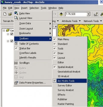
The Arc Hydro Toolset is a suite of tools which facilitate the creation, manipulation, and display of Arc Hydro features and objects within the ArcMap environment. The tools provide raster, vector, and time series functionality, and many of them populate the attributes of Arc Hydro features. This tools operate in the ArcGIS environment. Some of the functions require the Spatial Analyst extension. The tools are accessed through the Arc Hydro Tools toolbar, where they are grouped by functionality into five menus and six buttons.
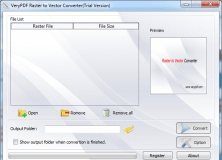
Raster to Vector Converter is used to convert raster files to vector files.


Comments (2)